
Learmount Wood
Saturday 26th November 2022
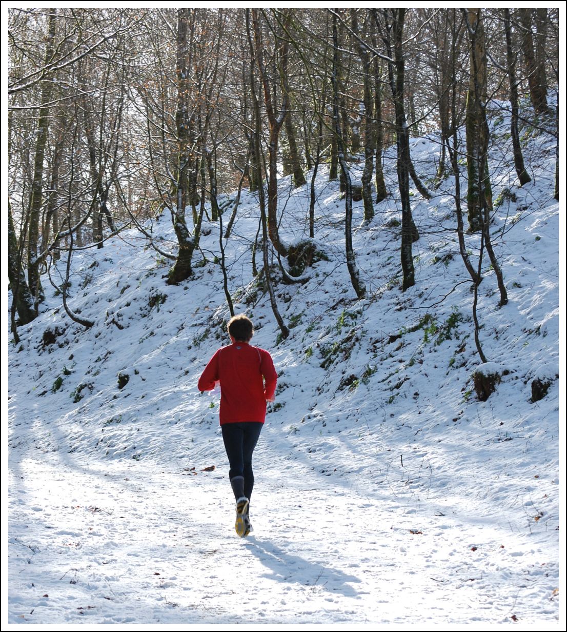
We can’t promise snow – but the woods will be generally lovely and only occasionally dark and deep!
Getting there
The easiest approach is to follow the road signs to Park from just outside Dungiven on the A6. The new dualed route of the A6 is almost complete, but at the time of writing the Dungiven bypass is closed.
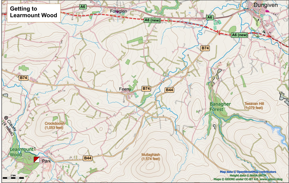
What3words – ///century.leaves.afternoon
Learmount Community Centre
School Lane, Learmount Rd, Park, Londonderry BT47 4AL
Parking
The main parking will be at the Learmount Community Centre with overflow parking available at the adjacent recycling centre and resource centre.

Venue
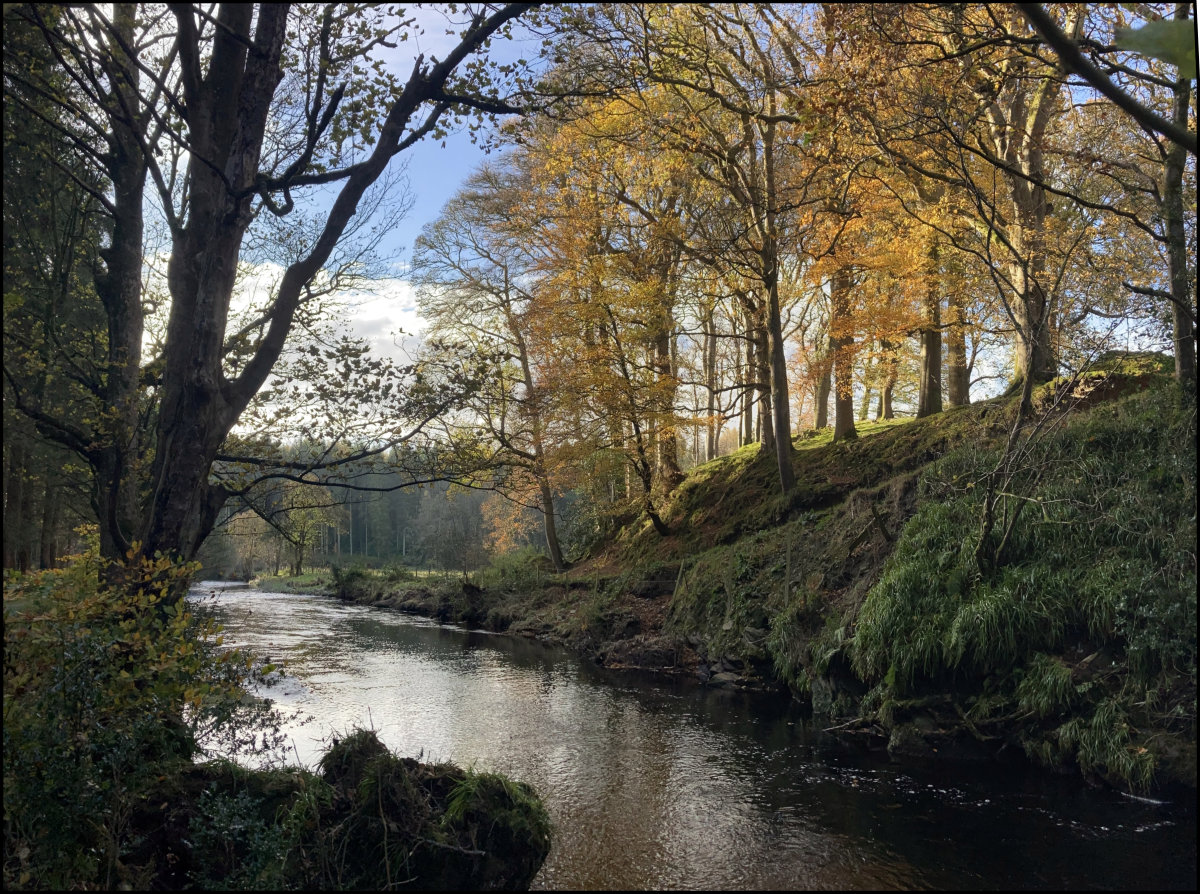
Learmount Wood is located adjacent to Park village which nestles at the foot of Sawel Mountain. The forest boasts a mixture of pine and deciduous trees, including a lovely section of Beech and a wide variety of habitats. The paths in and around the forest are not overly manicured which does tend to present the forest in a more rugged and natural light. Other interesting features of the forest, apart from the beauty and tranquillity of the woods, are the Castle and The River Faughan.
Terrain
The wood is generally runnable, although there is quite a lot of up and downs, and Brown/Blue/Green will have an initial steep ascent to access the far side of the road (south of the map) which has matured in recent years.
Courses may seem slightly shorter than normal, the steepness of some courses and time of year have been factored into this.
Entries
Pre-entries only – no entry on the day.
Entries now closed – but we have a few spare maps on some courses. So contact us (using the form below) if you would like to run and we will see what we can do!
- Enter Online
- Edit your Entry
- View Entry Lists
Course Details:
| Controls | Distance (km) | Climb (m) | |
| Brown | 21 | 5.7 | 265 |
| Blue | 19 | 4.9 | 180 |
| Green | 12 | 3.8 | 125 |
| Short Green | 10 | 3.2 | 125 |
| Light Green | 11 | 2.6 | 130 |
| Orange | 12 | 2.7 | 110 |
| Yellow | 9 | 1.9 | 45 |
| White | 8 | 1.4 | 35 |
White Course Warm up run
Some extra White Course Maps are available for anyone who would like to take a jog around the White Course before their main run. Please return your maps when you are finished.
Starts and road crossings
There will be two starts (see map above). The shorter course will start adjacent to the community centre while Green/Blue/Brown will courses start over the public road on the southern part of the map. This will involve a walk of approximately 300m. It is highly recommended to walk down the right-hand side of the road to the start, there is plenty of verges to step onto and there is a good view of oncoming traffic.
These courses will eventually cross the road onto the northern section of the map and this will be a timed-out crossing point which will entail following tapes to the next control. The time-out is 3 minutes,
Map
The map has had a major update in November 2022 to reflect the forest’s maturity and increased runnability. The scale for all courses will be 1:7500.

Sample of the new map
Toilet facilities will be available in the community centre.
Hazards
- Brown, Blue and Green runners will walk along and cross a public road on the way to the start control. The later crossing back over will be timed controlled, but unmanned. Should any under 16s enter these courses we will ensure the crossing is manned for them.
- Parents should be aware the area is bounded by a river which flows very powerfully in flood.
- Courses from Light Green upward will cross an unbridged stream. With recent rain the water may be up to a foot deep in places at the crossing point. A tree handrail has been provided to assist in crossing.
Event Queries
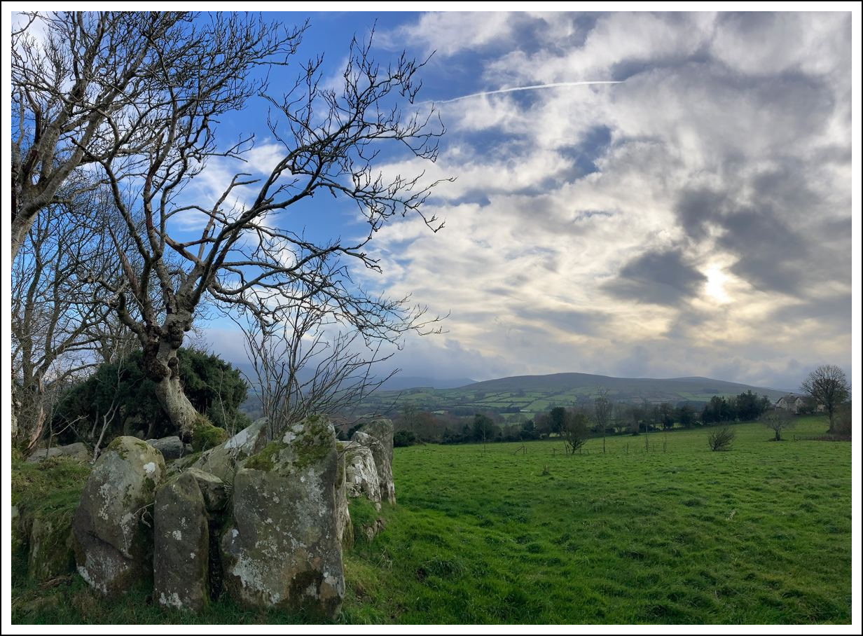
Tireighter Wedge Tomb just above Park Village