
Maps Note: all maps below expand to a larger version.
Description
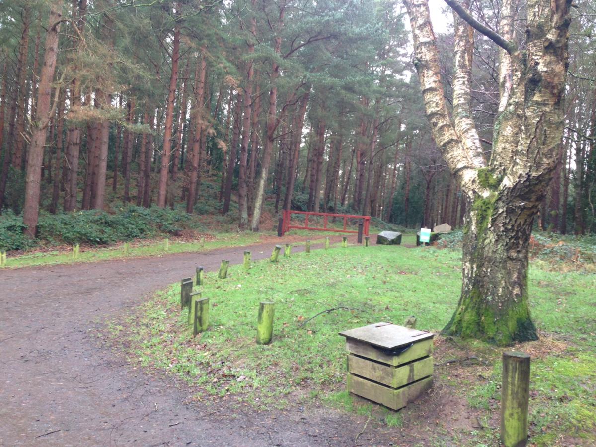
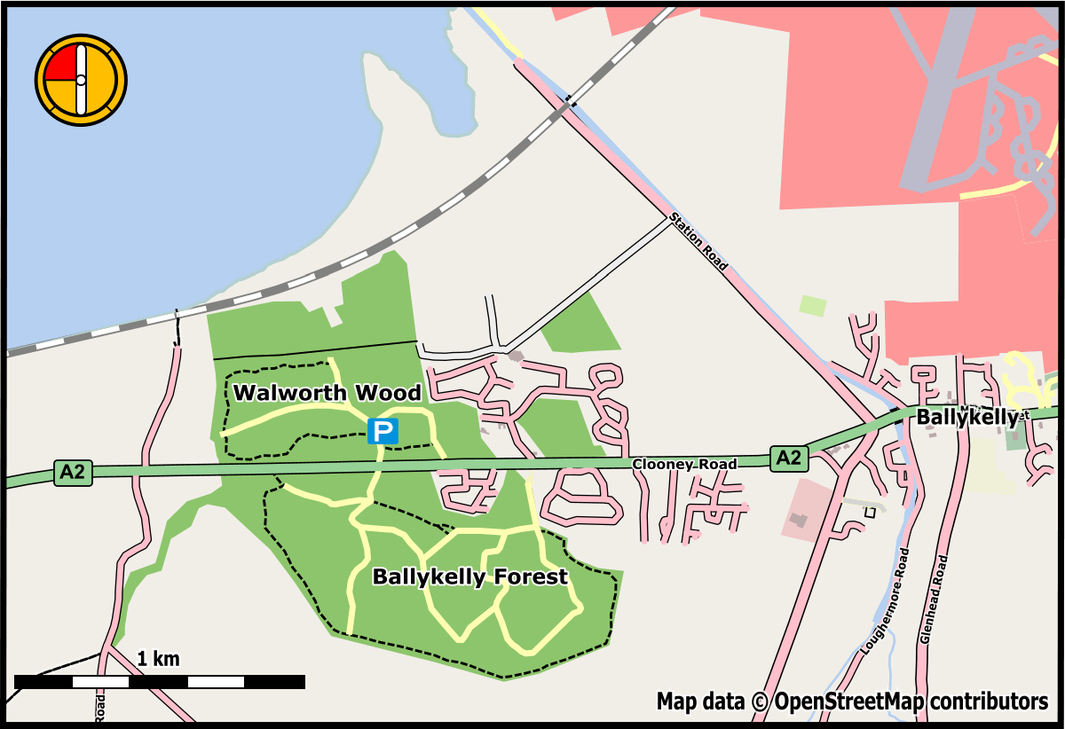
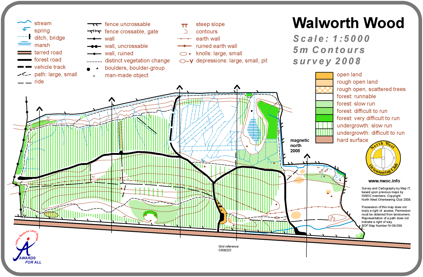
This is the northern section of Ballykelly Forest, the first state forest to be acquired in Northern Ireland. Four and a half hectares of Douglas Fir were planted here in 1912 within the boundaries of a much more ancient woodland. While today the Wood is mainly made up of conifer plantation, around the edges snippets of the old natural woodland remain. This Orienteering map uses the townland name Walworth to distinguish this forest from the main part of Ballykelly Forest on the south side of the A2 road.
It is a small, but attractive area, with a simple track and path network suitable for introductory Orienteering.
Access and Parking
There is a small car park immediately north of the main L’Derry / Limavady A2 road, one and a quarter miles west of the centre of Ballykelly village.
Map
Postcode Note: A postcode / street name and number are provided below to assist Sat Nav users. Please note that forests, mountains and car parks do not have postcodes – the code given will normally relate to a residential property which may be some distance from the parking. Please use Sat Nav in conjunction with the maps provided to find your actual destination!