
Maps Note: all maps below expand to a larger version.
Description
The Country Park is made up of a long strip of riverside natural woodland which runs along the river Roe. It is at its most spectacular as it cuts a narrow gorge underneath the O’Cahans Rock viewpoint. The cliffs and steep slopes have protected the woods from felling in the past and continue to provide a haven for plants and animals today. There is also a wealth of evidence of farming / industrial history with linen greens, mill races and even a preserved pioneering hydro-electric plant from 1896!
The path network is sufficiently complex to support intermediate level orienteering and is also suitable for beginners.
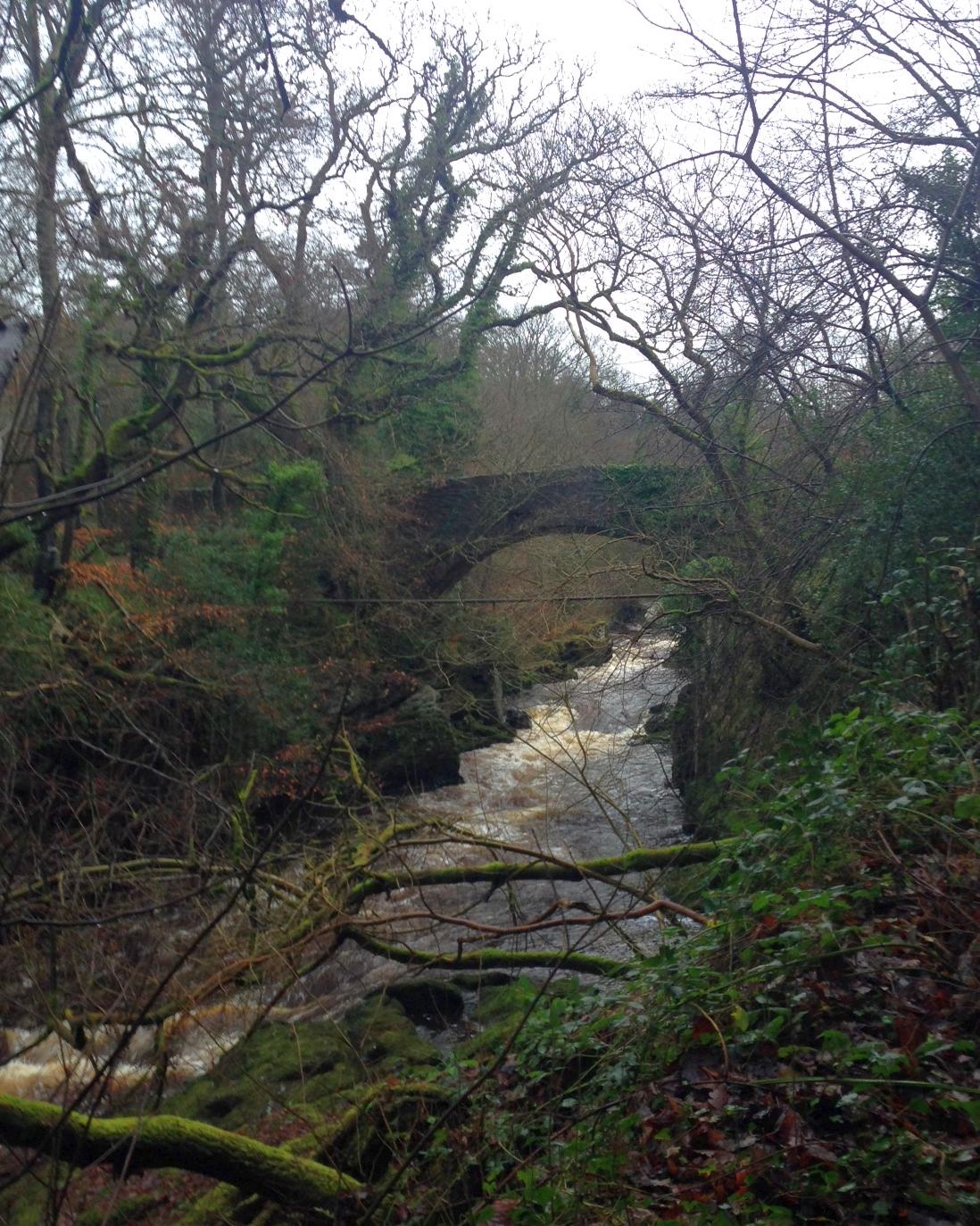
The Green Bridge in spate
Access and Parking
There are 2 main car parks – the one at the visitor centre which can be accessed from the B68 main Dungiven / Limavady road, via the Dogleap Road and another accessible from Roe Mill Road on the southern edge of Limavady.

Map

Postcode Note: A postcode / street name and number are provided below to assist Sat Nav users. Please note that forests, mountains and car parks do not have postcodes – the code given will normally relate to a residential property which may be some distance from the parking. Please use Sat Nav in conjunction with the maps provided to find your actual destination!